
GeoGirafe joins the global geospatial Open Source community at FOSS4G!
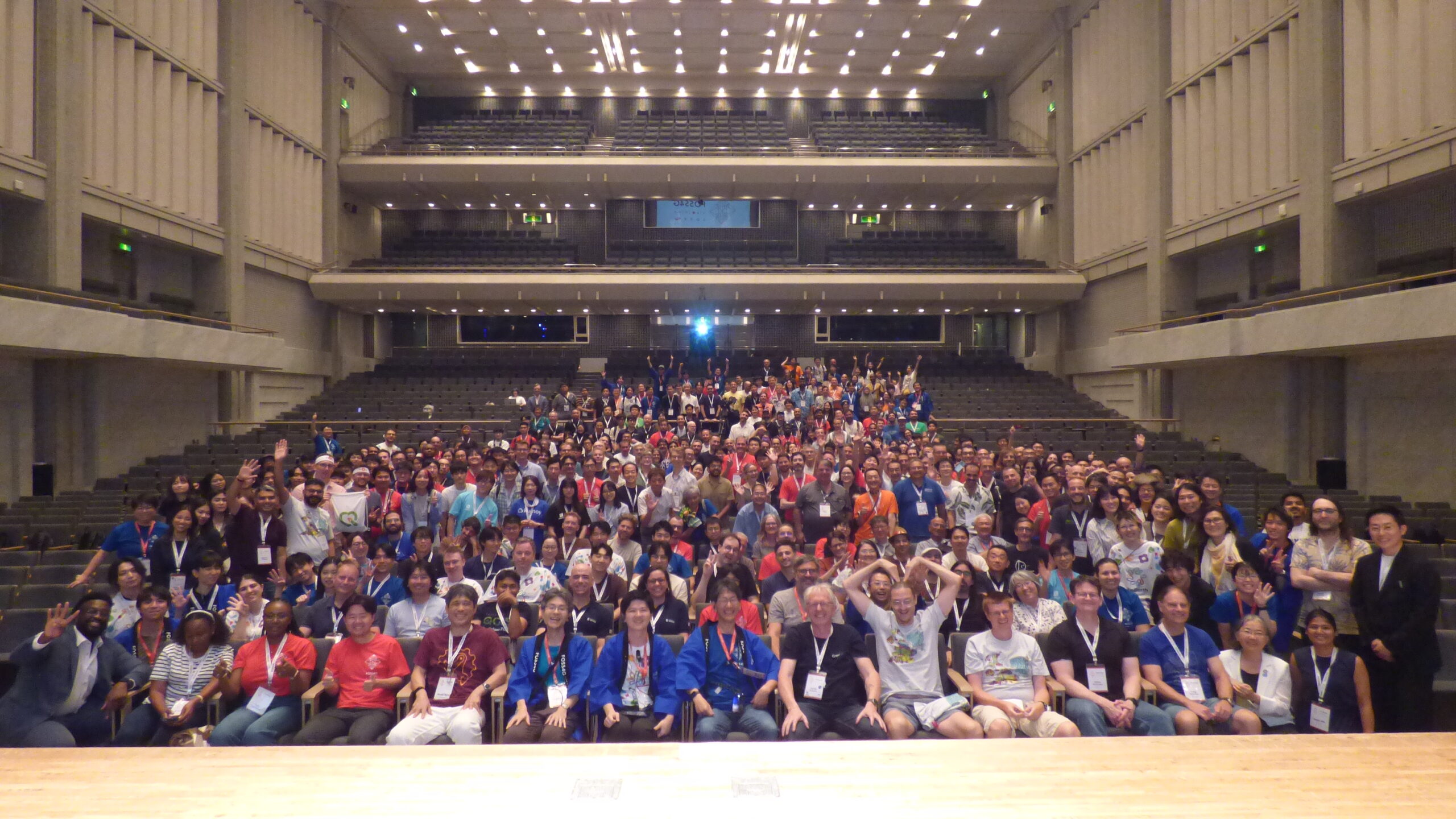
This summer, GeoGirafe continued its safari all the way to Japan, and more specifically to Hiroshima. This is where FOSS4G took place from August 30 to September 5.
But what exactly is FOSS4G?
FOSS4G stands for Free and Open Source Software for Geospatial. It is the world’s largest conference dedicated to open source geospatial technologies.
It is a unique opportunity to bring together developers, users, researchers, and companies around a shared goal: promoting Open Source through robust, sustainable, and long-lasting technologies.
And what about GeoGirafe?
Stéphane Malta e Sousa from SITN proudly represented GeoGirafe in Hiroshima and gave a presentation dedicated to the solution, highlighting in particular the community-driven governance, sustainability, modularity, scalability, and open collaboration at the heart of the GeoGirafe project.
The presentation was also an opportunity to share all the work that has been accomplished over the past several years and to further grow this wonderful community, which continues to inspire us to create and develop a geospatial solution that reflects who we are.
A special GeoGirafe instance for Hiroshima
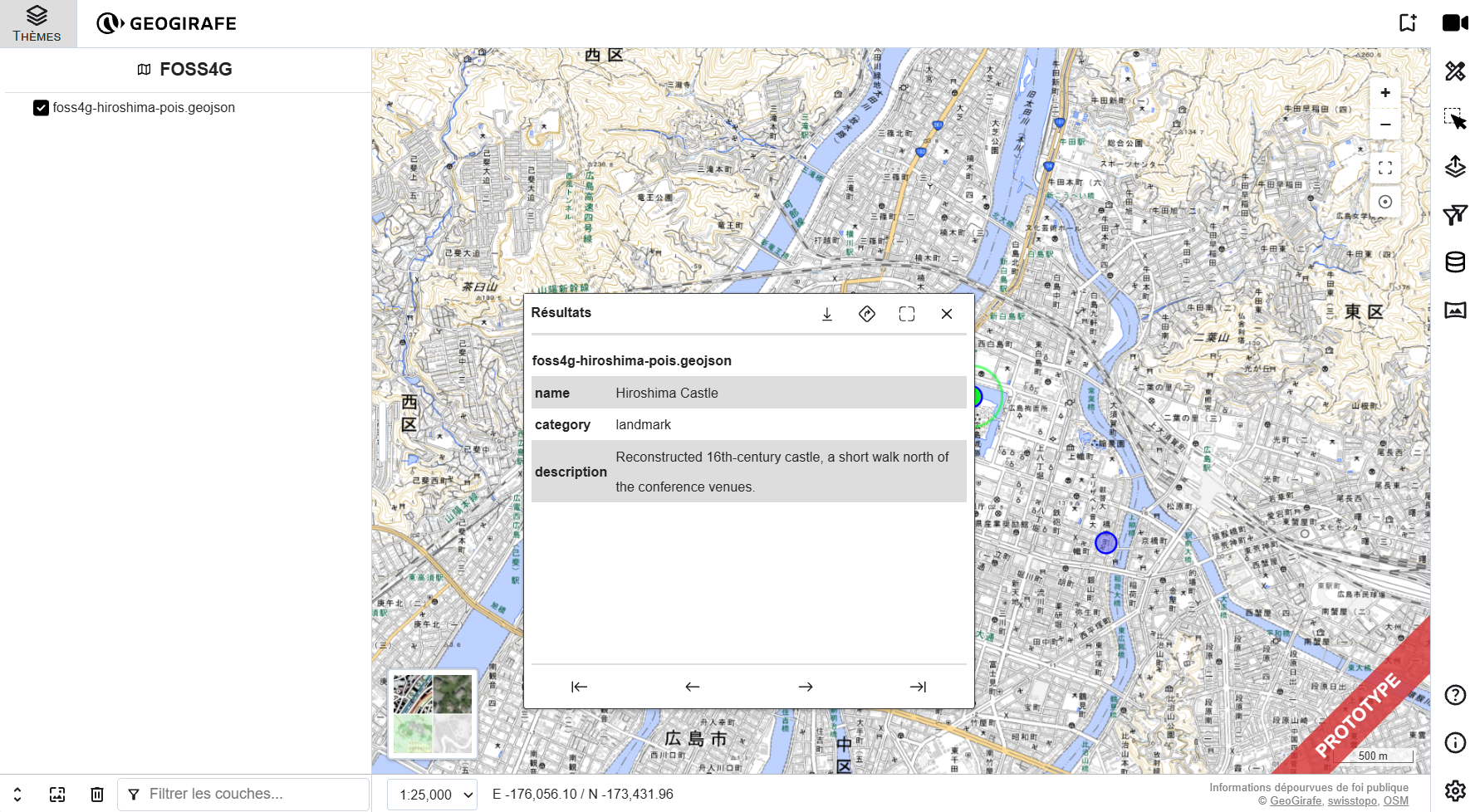
For FOSS4G Hiroshima, we also created a dedicated GeoGirafe demo instance. This lightweight version runs without a backend and uses static GeoJSON data, demonstrating that GeoGirafe can also be used in a simple and easily deployable setup. It was a great opportunity to showcase the flexibility and modularity of the solution in a real-world context.
Worth keeping in mind…
The next FOSS4G will take place in Bristol, UK, from August 23 to 29, 2027. See you there, perhaps!