
Release of GeoGirafe Version 1.1.1
After the successful launch of GeoGirafe 1.0 and its adoption as a stable release,
After its acknowledgment as an open-source OSGeo Project,
After significant investment in development, testing, and community engagement,
We are thrilled to announce the release of Version 1.1.1!
This update builds on the solid foundation of the version 1.0, introducing new features, performance improvements, and enhanced flexibility to meet the evolving needs of the geospatial community.
What is GeoGirafe?
GeoGirafe is an ecosystem of WebGIS components, designed to work with both c2cgeoportal and Georama back-ends, or entirely in standalone mode with just some static configuration files.
At the core of this ecosystem is a map viewer interface offering a wide range of features, including:
- 2D and 3D map views, based on OGC standards
- Advanced drawing and measurement tools
- Search, filtering, lidar, … and a lot more WebGIS tools
- Sharing tools (iframe, permalink, API)
And much more to discover or develop by integrating your own Web Components or extending the existing ones.
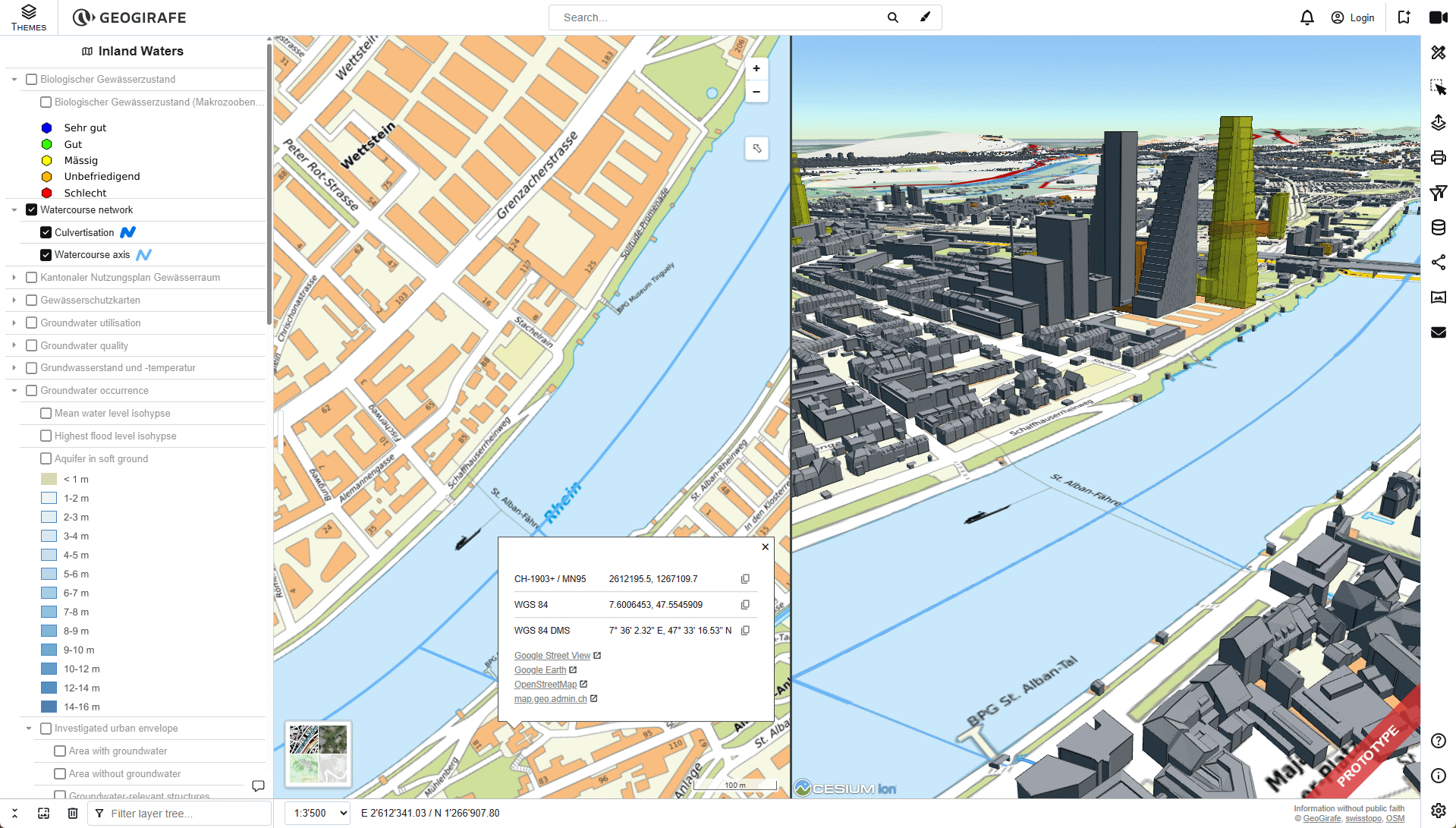
What’s new in GeoGirafe 1.1.1?
GeoGirafe 1.1.1 focuses on refining the user experience, expanding compatibility, and adding powerful tools for users and power-users.
Here are the key highlights:
- Improved themes & layers management
- A new Advanced Filtering tool that allows to create complex queries combining multiple conditions, including spatial filters.
- Object Selection Improvements with a better query-grid, CSV exports, rich content display, …
- Improved drawing and measure tools with more predefined shapes and a configurable level of display
- A lot of API enhancements, allowing to add external markers, layers, search, …
- A new plugin to get quick feedback from your end-users.
- And a lot more: RSS/Atom reader, bookmarking, better styling possibilities, …
A Big Thank You to the Community
This release wouldn’t have been possible without the feedback, contributions, and testing from our growing community.
The roadmap continues to evolve, with ongoing improvements such as enhanced 3D capabilities, advanced editing tools, and broader compatibility with modern geospatial technologies.